下载App
旅行
账户
DrRThapa
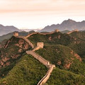
Truly amazing Himalayan wonderland
Upper Mustang Trekking的点评
点评:The most popular route seems to be:
Kagbeni <> Chele
Chele <> Jhaite
Jhaite <> Tsarang
Tsarang <> Lo Manthang
The elevation is at the lowest, 2,800 meters whereas the highest is 3,650 meters.
I will only write few stand outs about Upper Mustang.
You can take transportation on in vehicles fitted with internal combustible engine for much of this trip. Walking is much fun though. Also, many fit people might prefer road transportation.
You have Annapurna mountain range to your south. That is something we found peculiar as much of humanity is conditioned to the idea that Himalayan range is always to one's North.
The suspension bridge to Ghyakar is featured in many films and photographic collection around the world. Outstanding beauty over the deep gorge.
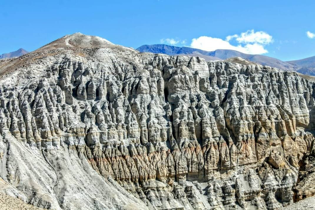
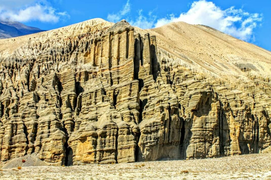
Chungsi Cave are formed by the strong winds that chiseled away loose sediments from the rock face over millenniums. It is stunning.
Trekking permit is dearer compared to permit fees for other places in Nepal.
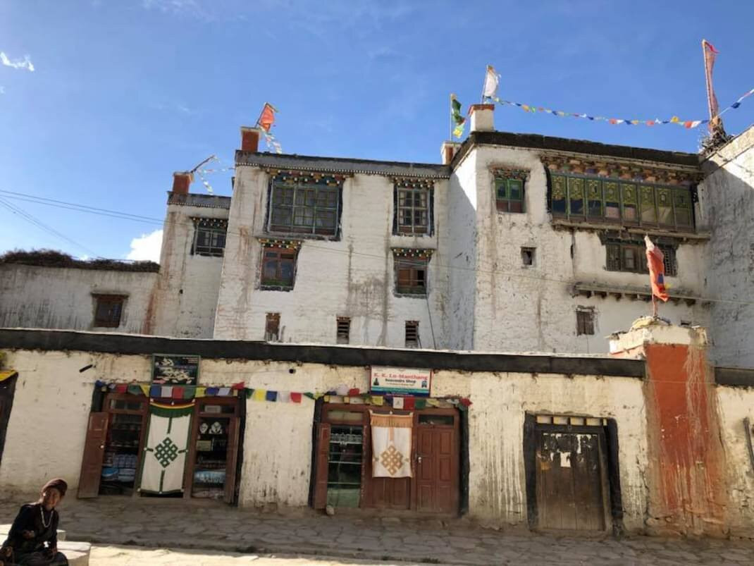
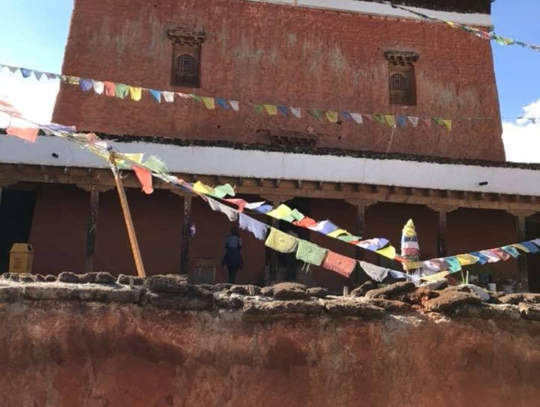
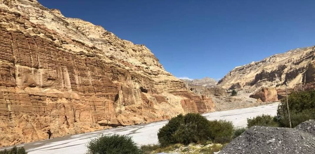
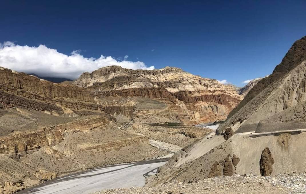
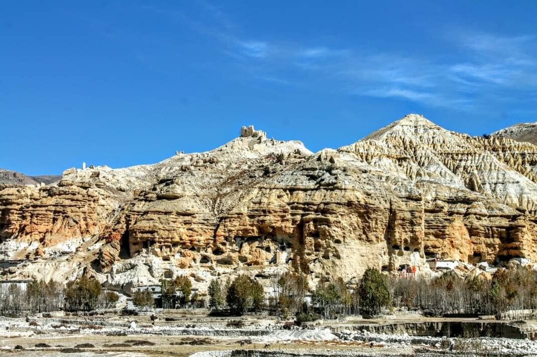
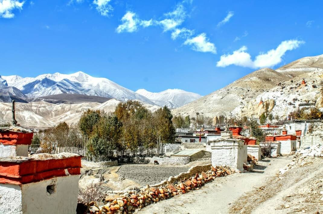
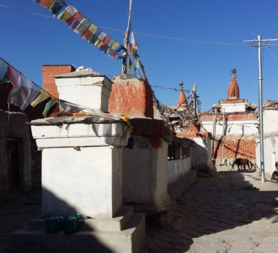
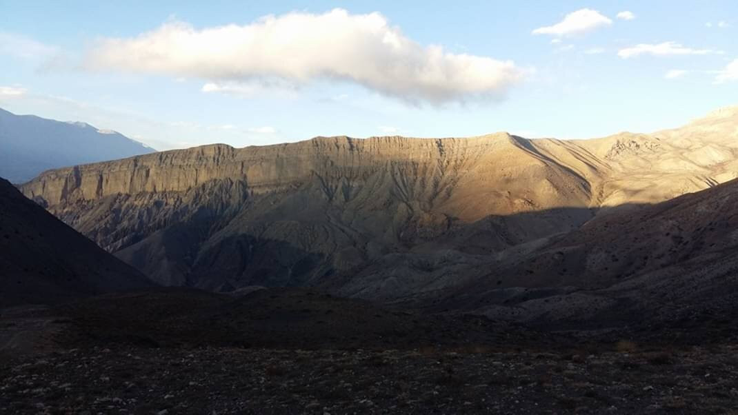
The stones, rocks, mountains have hues of gray, red, orange and other shades you have not seen anywhere else.
Kagbeni <> Chele
Chele <> Jhaite
Jhaite <> Tsarang
Tsarang <> Lo Manthang
The elevation is at the lowest, 2,800 meters whereas the highest is 3,650 meters.
I will only write few stand outs about Upper Mustang.
You can take transportation on in vehicles fitted with internal combustible engine for much of this trip. Walking is much fun though. Also, many fit people might prefer road transportation.
You have Annapurna mountain range to your south. That is something we found peculiar as much of humanity is conditioned to the idea that Himalayan range is always to one's North.
The suspension bridge to Ghyakar is featured in many films and photographic collection around the world. Outstanding beauty over the deep gorge.
Chungsi Cave are formed by the strong winds that chiseled away loose sediments from the rock face over millenniums. It is stunning.
Trekking permit is dearer compared to permit fees for other places in Nepal.
The stones, rocks, mountains have hues of gray, red, orange and other shades you have not seen anywhere else.
翻译:最受欢迎的路线似乎是:
Kagbeni <> Chele
Chele <> Jhaite
Jhaite <> Tsarang
Tsarang <> Lo Manthang
海拔最低,为 2,800 米,最高为 3,650 米。
我只会写一些关于上木斯塘的突出之处。
在这次旅行的大部分时间里,您可以乘坐装有内燃机的车辆。不过散步很有趣。此外,许多身体健康的人可能更喜欢公路交通。
您的南面是安纳普尔纳山脉。我们发现这很奇怪,因为大多数人都习惯于认为喜马拉雅山脉总是在北边。
通往 Ghyakar 的吊桥出现在世界各地的许多电影和摄影作品中。深峡谷的美景令人叹为观止。
Chungsi 洞穴是由强风在数千年的时间里从岩壁上凿掉松散的沉积物而形成的。太震撼了。
徒步许可证比尼泊尔其他地方的许可证费用更贵。
石头、岩石、山脉呈现出灰色、红色、橙色和其他你在其他地方看不到的色调。

© 2025 Tripadvisor 版权所有。
部分照片由 VFM Leonardo 提供。
TripAdvisor公司对外部网站的内容一概不负责。优惠价格中不含税和其他费用。
ICP证:沪B2-20200433
沪ICP备20013175号
 沪公网安备31010502005427号
鹰程信息技术(上海)有限公司